Log in
All resources
Create a design
Tools
308,634 Free Images of Pages With Maps
cc-zero
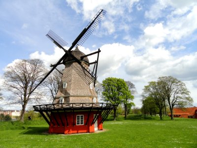
architecture
town
kälberschlaghöhle (a 14)
village
kastenberghöhle (a 153)
rural
pavement
kršan
images with annotations
self-published work
ark encounter
grass
field
self-published work
pages with maps
self-published work
pages with maps
pages with maps
cc-zero
village
roof
self-published work
pages with maps
architecture
village
self-published work
rock
self-published work
forest
sidewalk
pavement
grass
lawn
architecture
sidewalk
self-published work
vehicle
pavement
tilia
self-published work
architecture
self-published work
pages with maps
self-published work
animals
self-published work
pages with maps
self-published work
pages with maps
pages with maps
cc-zero
pages with maps
cc-zero
architecture
village
pages with maps
tree
self-published work
pages with maps
pages with maps
town
architecture
town
pages with maps
cc-zero
village
town
self-published work
irsee
self-published work
pages with maps
self-published work
pages with maps
self-published work
pages with maps
self-published work
pages with maps
self-published work
pages with maps
self-published work
pages with maps
self-published work
pages with maps
self-published work
pages with maps
architecture
village
self-published work
pages with maps
self-published work
pages with maps
self-published work
pages with maps
self-published work
pages with maps
self-published work
lawn
self-published work
pages with maps
self-published work
pages with maps
self-published work
pages with maps
self-published work
pages with maps
self-published work
pages with maps
pages with maps
cc-zero
self-published work
pages with maps
self-published work
pages with maps
self-published work
pages with maps
self-published work
pages with maps
self-published work
pages with maps
self-published work
rock
self-published work
pages with maps
self-published work
pages with maps
self-published work
pages with maps
self-published work
pages with maps
self-published work
pages with maps
christmas food
bowl
self-published work
pages with maps
self-published work
town
self-published work
architecture
self-published work
pages with maps
self-published work
pages with maps
self-published work
pages with maps
architecture
roof
self-published work
town
self-published work
village
rural
wood
uploaded with vicuñauploader
pages with maps
pages with maps
facade
rural
roof
self-published work
pages with maps
self-published work
pages with maps
self-published work
pages with maps
self-published work
pages with maps
self-published work
pages with maps
self-published work
village
self-published work
field
self-published work
pages with maps
self-published work
pages with maps
landscape
mountain
kršan
lawn
kršan
town
pavement
kršan
pavement
kršan
self-published work
pages with maps
self-published work
pages with maps
self-published work
pages with maps
self-published work
pages with maps
self-published work
pages with maps
self-published work
pages with maps
self-published work
pages with maps
self-published work
pages with maps
architecture
rural
architecture
town
traffic
mestre
8401 - 8500 of 308,634
Next page
/ 3087